
Operational and Dynamic Maps
ArcGIS Online: Ukraine Reference Map Application
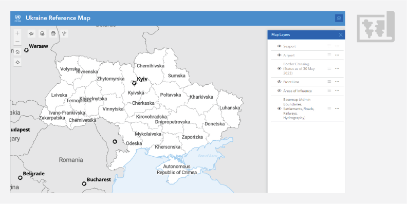 | Ukraine Reference Map application is designed to allow people with no experience in geographic information systems (GIS) to create custom maps, add their own data, customize symbology, and save maps as PDF files that can be further printed and shared. The reference map displays international boundaries, Ukraine administrative boundaries at oblast, raion, and hromada levels, settlements, roads, railways, rivers, water bodies, seaports, airports, and border crossings. Also, it allows the display of the front line (weekly updates) and areas of influence (daily updates). The application allows the creation of maps of the whole country or zoom-in to show specific locations. It can be opened in web browsers, on mobile phones, and other devices. |
|---|


